Pages

Saturday, 17 May 2014

Breadsall Greenway Phase 2

Construction of the long awaited extension to the Breadsall Greenway is now complete (May 2014) and it forms a short but worthy addition to our local off-road cycle routes, running from the top end of Brookside Road to Lime Lane, mostly following the line of the Great Northern Railway, but avoiding the cutting which contains the SSSI Nature Reserve and the redundant Morley Tunnel.
We now have a video of the route on YouTube, starting at Lime Lane and running downhill to join the Phase 1 section at the junction of Brookside Road and the A608.

Click  HERE to see the video on YouTube.


See also "Breadsall for Beginners" in October 2013 posting,
which covers the route from Derby City Centre to the start of the greenway at the Paddock PH.
The distance from the Paddock PH to the end of the Phase 2 section is 2.8 miles.

There follows a series of still photographs of the new path running from the top of the Phase 1 section through to Lime Lane.

                                                                    This is where it starts.

Take care crossing the A608 road which although subject to a 40mph speed limit carries some high speed traffic.
 
              The path runs for a short distance alongside the main road from this bus stop...................


........ up to the entrance gate here. The K frame barrier is unusually narrow and DCC are on course to  widen it.

We are now running parallel to the main road, but separated by the low hawthorn hedge on the left.

At this point the path veers away from the road which drops down into Donkey Hollow.


                   On the right here is the SSSI Nature Reserve in the old railway cutting.

    And here at the end of the Nature Reserve, we turn onto the original track bed which takes us as  far as Morley Tunnel.

                                            A nice straight and flat section from here on.


 At this bridge, which carries a farm track only, we leave the track bed to climb over Morley Tunnel which is behind the bridge.


                                     Morley Tunnel is beneath the trees ahead on the right

                                            A bit of a climb up here but Lime Lane is in sight.

 And here it is.  The NE end of Morley Tunnel lies beneath the trees ahead, and for the time being the greenway ends here.  Turn left for Morley and right for the A608, Oakwood, and the Kings Corner PH at the crossroads.

                                         A nice place to call in for a drink and some refreshment.

Monday, 17 February 2014

Egginton to Mickleover

From Egginton Junction Bridge to Mickleover Station is a distance of a little over 5 miles.
A video shown at normal cycling speed is not very exciting so it is shown at 4 times actual cycling speed.  This represents an apparent speed of about 50 mph, a speed which most of us would not be able to achieve.
It is not possible to show this length of video on the blog so it is on You Tube and the link is
HERE

Monday, 3 February 2014

Breadsall Greenway Video


The Breadsall Greenway is the North Eastern part of the Great Northern Greenway, once the Great Northern Railway and now Route 672 of the National Cycle Network.
On the West side of Derby lies the Mickleover Greenway. Sadly the middle part of the railway route in the City of Derby has been lost during the years of dereliction.
The aim by Derbyshire County Council is to take the Breadsall Greenway through to Ilkeston.
This is severely limited by financial considerations but a further short section is currently under construction.
To see a video on You Tube of the present Greenway from the Paddock PH to Sixoate Gate click HERE
Also a second video covering the ride downhill from Sixoate Gate to Breadsall Station can be seen on You Tube by clicking HERE2

This is supplementary to the slideshow post of October 2013 entitled " Breadsall for Beginners".

Friday, 17 January 2014

Uttoxeter from Derby


The first part of this ride, that is from Derby to Hilton, is already covered in the post of  Dec 2013,
so we now look at the route from Hilton to Uttoxeter, that being Routr 549 of the National Cycle Network, which runs along the Dove Valley and roughly parallel to the A50 trunk road.


This is the end of the off-road section of Route 54, the Mickleover Greenway, where above this, the Egginton Junction Bridge, is the A5132 road running between Hilton and Willington.  Route 54 goes on towards Burton-upon-Trent via Egginton and Route 549 goes in the opposite direction.


 This view is looking towards Hilton from the railway level crossing which is behind the camera. The distance from here to Uttoxeter is 15 miles.


   From the top of the bridge we head towards Hilton, passing Birch Trees Farm, behind trees  on left.

    Turn left after the farm onto the old access road to Hilton Industrial Estate, through these posts.

            After a short stretch of tarmac turn right through these posts onto the Hilton Greenway.

The Hilton Greenway passes between Don Amott's Leisure Kingdom on the right and the Hilton Industrial Estate on the left.

We emerge from the Greenway onto The Mease which encircles the village of Hilton on the South side. Turn left here, either on the road or on the shared path opposite.

               There are several roundabouts on The Mease, and we go straight on at all of them.


                     After this bus stop, turn left following the sign to Marston-on-Dove.

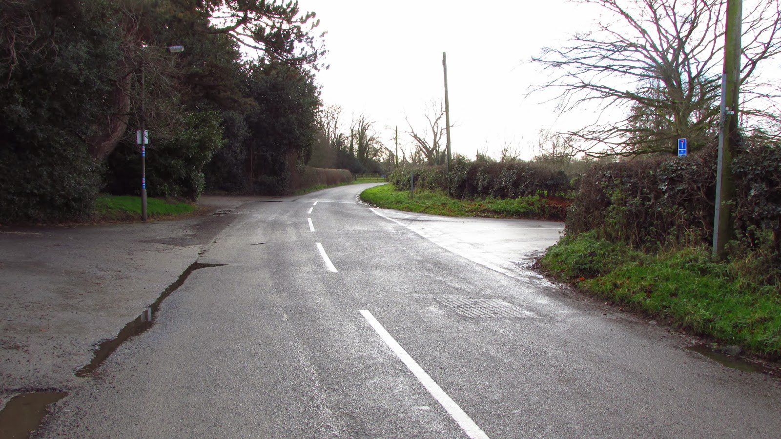
                      Turn right at this junction opposite Marston Hall, and head towards the church.


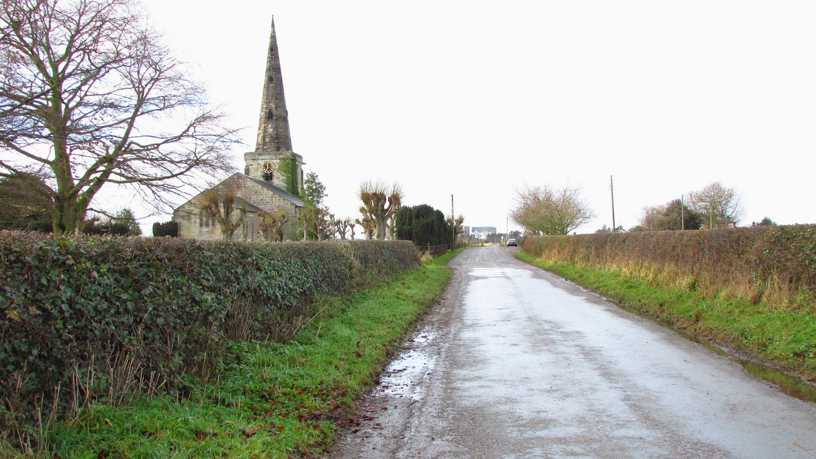
     Straight on to pass St. Helen's Church, which looks out over the flat landscape of the Dove Valley.


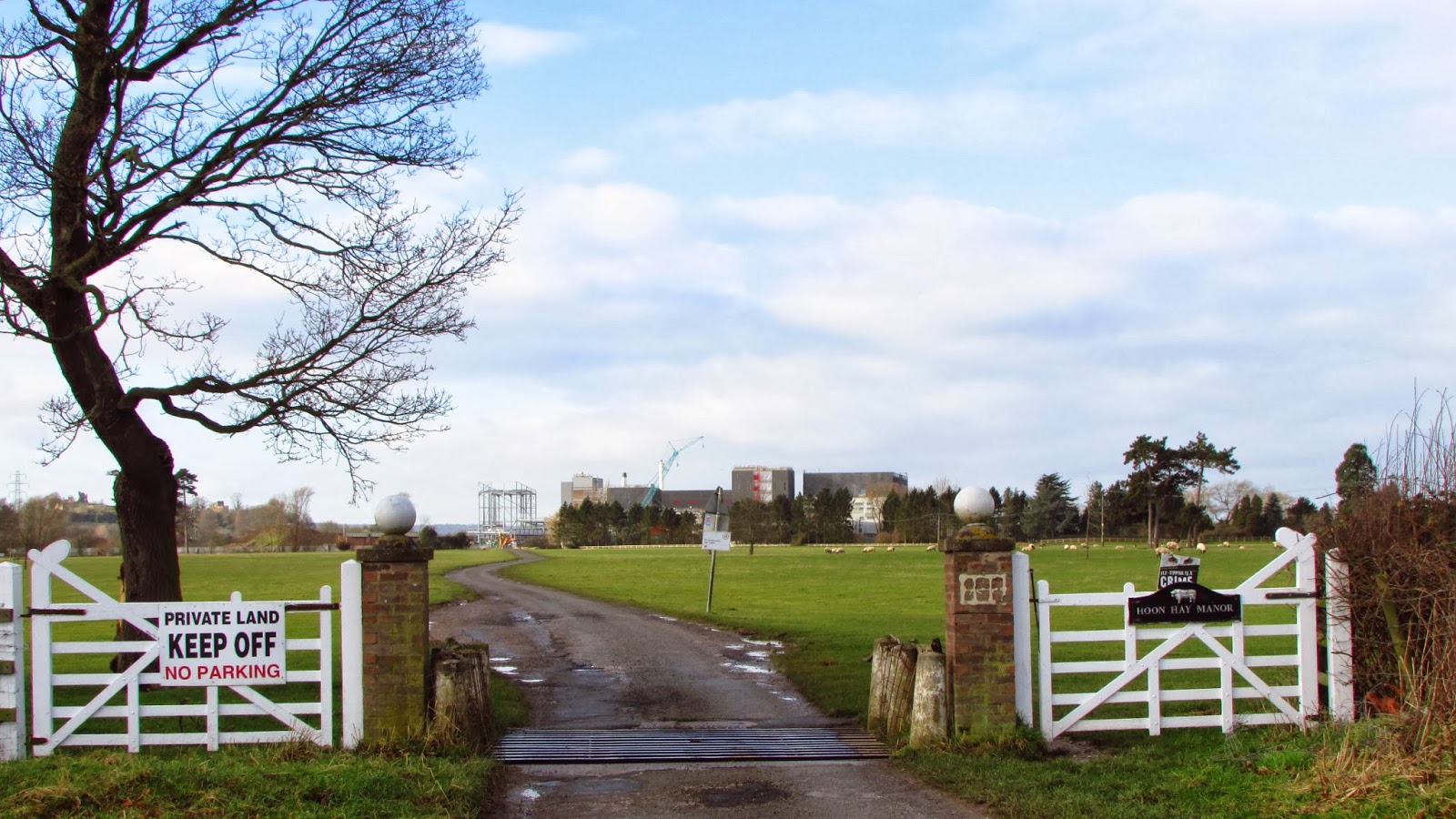
  Watch out for cattle grids on the open road across the unfenced sheep pastures, with the new Nescafe Coffee Factory under construction on the horizon.


As we approach the construction site we turn right at the fence onto the much improved path which encircles the new factory.

This area has been subject to flooding in the past, but this has been taken into consideration in the design of the new path which is of generous width and has a good surface.


Straight on through this gate.
a
                                Onto Church Street where we turn left at the junction.

                                    Then right at the roundabout onto Scropton Road.

                                                     Through Scropton Village.

                                                        And turn right here
                                             And immediately left for Sudbury village.
                                                         Past the Post Office .......
......................
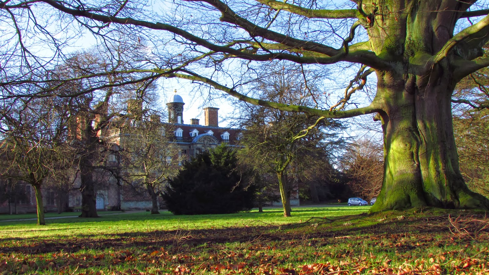
                            And the National Trust's Sudbury Hall, visible on the left through the trees.
 
 
                                   Left at roundabout following sign to Doveridge.

                                   Straight on at Give Way sign by the Cavendish Arms.

                   And onto disused road, now a dedicated cycle path alongside the A50 trunk road.


                          Cross the River Dove on this bridge and we are then in Staffordshire.

 At end of the path alongside the A50 roundabout and opposite the Dove Bridge PH turn left onto new cycle path which will soon run all the way into Uttoxter.
                        This new path is a big improvement, keeping cyclists clear of the road traffic.