Pages

Tuesday, 13 October 2015

Leicester to Watermead Park

This is a short ride of about 7 miles, following the River Soar NE from Leicester City Centre and what it lacks in distance, is more than made up for with lots of interesting places to visit along the way.  The route is flat, mainly traffic free and the path has a good tarmac surface. There are many lakes besides the River and the Grand Union Canal.
From Derby there are several options for travelling to the start at Abbey Park.
If you have a folding bike and a bus pass, the Skylink bus is favourite, although the journey is long,  as  the bus goes via East Midlands Airport and stops at most of the villages on the way.
Train is quite a good option since there is a  frequent service between Derby and Leicester.
Finally, travel by car is pretty direct and parking facilities are good in Abbey Park or nearby.
Directional signing to Abbey Park is good.

We start the ride in Abbey Park at the cafe adjacent to the fine stone bridge which spans the River Soar.

                                    Entrance to Abbey Park.  There are other entrances.

             A map of the park, which justifies a a ride around it before we commence the ride proper.

    See the boating lake.

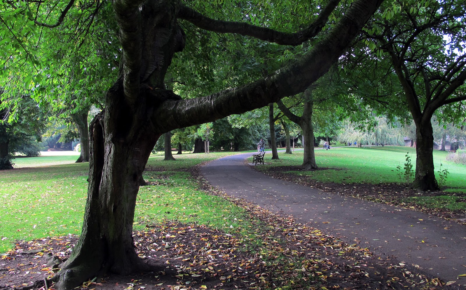
               And there are lots of fine trees in the park and tarmac paths on which cycling is permitted.

                                      The cafe is across this fine multi-arched stone bridge.

 There is a good choice of food and drinks at the cafe which occupies the ground floor of this building.

 In front of the cafe is this (non too flattering) statue of Cardinal Wolsey, who died at the Abbey in 1530 and is buried in the grounds. The statue is of no historical significance, being funded in recent years by the company Wolsey who make knitted garments such as socks, and pullovers.

 The path ahead has the River Soar on the right, and behind the wall on the left are the remains of the Abbey after which the park is named.

 The route is well signed but confusing regarding the route numbers.  Route 1 is peculiar to Leicester whilst Routes 6 and 48 are National Cycle Network numbers.

                    Soon we see the National Space Centre, well worth spending a few hours here.

And the Abbey Pumping Station, now a comprehensive industrial museum, also worth a lengthy visit.
This is the rear of he building and the entrance is off the A6 road. Turn left at next road crossing.


                                 The well surfaced path meanders through woods.

 The River Soar is never far away and there are several small bridges crossing the tributaries...........


                                         ..........and tantalising views of the many lakes.


There are plenty of  paths off the main route and these lead to other parts of Watermead Park.

Take this sharp hairpin bend which leads to the Grand Union Canal towpath.


                The Grand Union Canal Marina at Thurmaston

This artwork is one of the Sustrans Portrait Benches which are representations of historical local characters, in this case ancient inhabitants who seem to fancy a nice steak for dinner.

                 Also a reminder of the woolly mammoth whose remains were found hereabouts.

Since there are some many possible routes around the various lakes, the riverside and the canal. there follows a selection of photographs taken at various places.


For more information on Watermead Park click Here

Saturday, 10 October 2015

Derwent Dams

The A57 road crosses one leg of the Labybower Reservoir on a multi-arched bridge and from this point a minor road on the West side of the bridge leads to the Fairholmes Visitor Centre and car park, this being a good place to start this ride which encircles the Derwent and Howden reservoirs. Along this road, which is closed to motor traffic on Sundays in the Summertime, there are several free car parks, whereas there is a charge of £4.70 in the main car park.
The Visitor Centre at Fairholmes has everything that you may need - toilets, a shop selling reasonably priced food and a bike hire/repair shop.  Also if you like ducks, this is the place to go, as a flock of hundreds exists there, encouraged by food given to them (or dropped) by the hundreds of human visitors.
The ride is about 11 miles long or it can be extended to about 21 by avoiding the short cut back to Fairholmes, cycling down to the A57 road and back on the minor road.

 Turn right here for the Visitor Centre and Car Park.  It costs £4.70 to park in this car park, but there are several small free car parks beside the road from the A57.

 This free car park is just a few yards before the main car park.


                                    Passing the Bike Shop on the way to the Visitor Centre.

                                                                Watch out for ducks!

                                                      Here's the Visitor Centre.

                                                                 The Pay and Display Car Park.

                                             And just a few of the many ducks.

The Shop.
                                                     Good menu and prices.


                        Start of the ride, which remains on tarmac for quite a distance and is fairly flat.


               Within a very short distance we arrive at the first dam, this being Derwent Dam.


The classic view of the dam towers which was used by the Dambusters 617 Squadron in practice for the Bouncing Bomb attacks on the German Roerh and Moane dams during WW2.


The dam holds back the waters of Derwent Reservoir, here today not by any means full, but will no doubt fill during the forthcoming Winter.

The hill slopes around the waters are festooned with many large trees which not only add to the beauty of the place but also stabilise the ground.

                                                             Further up the valley is Howden Dam.


So far the ride has been on a tarmac surface, but this is as far as it goes. The turnaround at the King's Oak, planted in 1946 by King George 6th.  Not that big for a 70 year old oak, but it shows how slowly they grow.  Some car parking available here.

 On through these gates, the rough track takes us to the most Northerly point of the ride ....................

  .................................................................at Slippery Stones Bridge

                                                     Then up this rise................

 .......................where there is an aerial view of the bridge which we have just crossed.

                                                        Head now into the hills.

                                    An unusual and explicit reason for shutting the gate.

                                                        Heather on the hillside.


And we return to the Derwent Dam where there is a steep path below the dam wall, back to the Visitor Centre.
Or you can carry on right down to the A57 road, cross the Ladybower Bridge and return on road to the car park. This adds several miles to the total distance.

Verdict
A Dam Good Ride