See previous posts here on the Water Rail Way, dated May and July 2015.
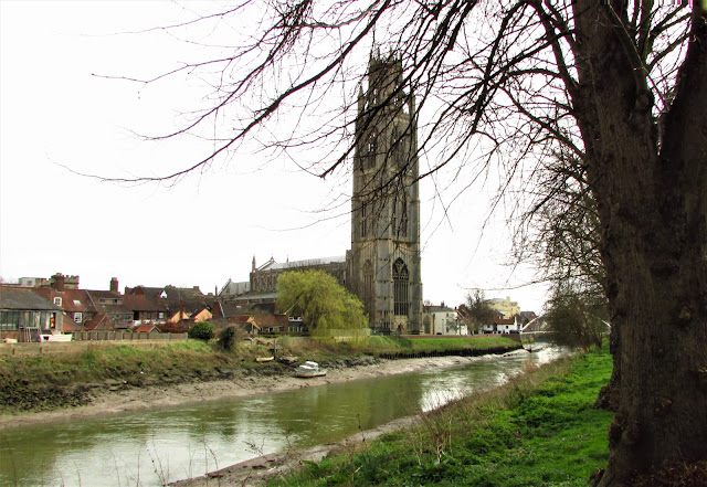
St. Botolph's Church, better known as Boston Stump, stands high above the town and is visible from many miles around. Here it is seen from the large Market Place.
It stands very close to the River Witham.
Magnificent stone work at close quarters.
The town has not been spoiled by modern developments and many lovely old buildings survive.....
.................................................including some narrow cobbled streets.
The river is tidal downstream of the Town Bridge.
Here is the harbour, home of the fishing fleet which gathers shellfish from the shallow waters of The Wash.
The Fens abound in artificial waterways used primarily to drain the fertile land, but also used in past times as major transport routes, and more recently for recreational boating.
An unusual road sign alongside the water.
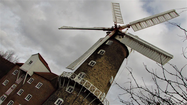
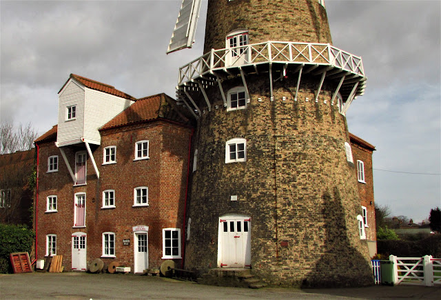
Alongside the West Fen Drain stands the Maud Foster Windmill, an imposing structure still in working order and open to visitors on Fridays and weekends. It is one of the tallest working windmills in the country and unusual in having five sails.
The B1183 runs alongside in the direction of Horncastle.
The country lanes around Boston are ideal for cycling this circular route taking us around the North west side of the town to join the Water Rail Way at Anton's Gowt . This is actually the name of the nearby village and the word "gowt" means a drain. Presumably it belonged to Anton.
The locks here join one of the large drains to the River Witham and would no doubt have been used to control the relative water levels especially at times of flooding rather than, as on most canals, to enable the passage of boats.
This viewing tower was erected as a feature on the Water Rail Way...................
................... giving better views of the surroundings ...........................


No comments:
Post a Comment