Pages

Thursday 1 December 2016

Ashbourne from Derby

The town of Ashbourne marks the most Southerly part of the Peak District National Park and lies 12 or so miles to  the North West of  Derby, but the direct road connection, the A52 trunk road, is not a good choice for cyclists as it is narrow, has no cycling features at all, and although subject to a 50mph speed limit for most of it's length, carries some high speed traffic.

A possible alternative route, albeit longer, is to follow the Pennine Cycleway which is Route 68 of the National Cycle Network. This is one of the longest Sustrans routes, starting in Derby and running some 355 miles along the spine of the Pennines to Berwick-upon-Tweed, which is almost on the Scottish border.

Here we take a look at the first section of the route, in particular from Mickleover to the South end of the Tissington Trail at Ashbourne.
 After crossing Station Road we come to Mickleover Station.

And follow the off road route which is signed as Routes 54 and 68 of the National Cycle Network.

At this signpost the two routes diverge, Route 54 going to the left to Etwall beneath the A516 road and Route 68 going straight ahead following the Ashbourne signing.

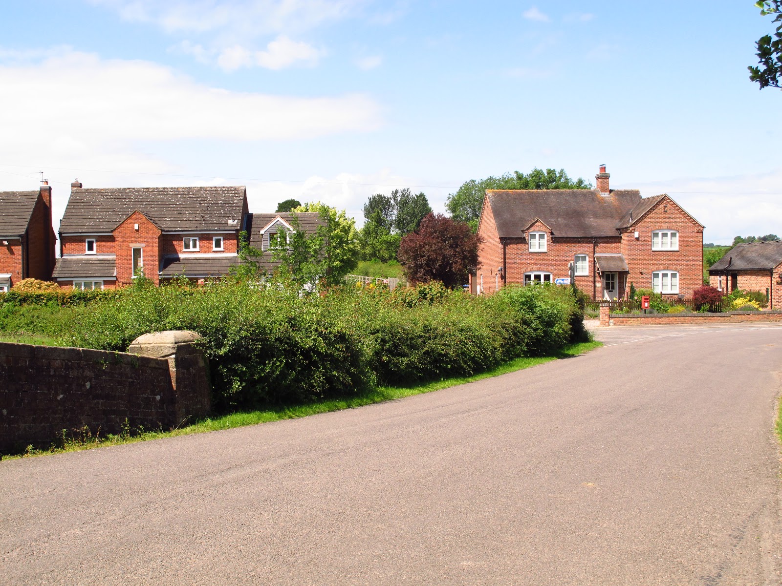
At Barleyfields Equestrian Centre the off road section ends and from here on we go on country lanes all the way to Ashbourne.

The route is well signed, mostly on these substantial wooden posts. We are now heading towards Sutton-on-the-Hill.


 There are few places for refreshment on the route but here at Ashe Hall is a very good café. At this sign a path leads to the hall.


A few yards further on the right is the main entrance to the Ashe Hall Buddhist Centre.


                                                 The Hall stands well off the road.

                                 Connected by this avenue of magnificent pine trees


                    Back on the road this section is described on OS maps as "Devil's Elbow".

 There is a discrepancy between the route signs and the Sustrans map here at the next junction, but best to turn off the signed route, turning left here to pass Sutton Church which stands proudly on the hill. There is little difference in distance as we soon regain the signed route after the church.


                                                Here we approach the church................
                                                  .......... with it's lovely lyche gate.

Back on the route we now follow the signs to Longford.


Longford Mill

                                                       After the mill turn left at this junction.
                Now on Long Lane and we turn right following the sign to the village of Rodsley.


                                                     Entering  Rodsley village.
Turn right after Rodsley for Wyaston.


                                                 Keep following the substantial sign posts.


 As we enter Ashbourne , turn left at this roundabout and follow the signed route as it zig-zags through this modern housing estate leading onto a steep downhill path. Pass the Swimming Pool and you are en route, via the Ashbourne Tunnel, to the Tissington Trail.

To see details of the ride from Ashbourne to Parsley Hay on the Tissington Trail go to October 2016 posting on this blog.

Here is a video of the ride through the tunnel.


No comments:

Post a Comment